
Discover and explore top open-source AI tools and projects—updated daily.
BotanicGarden by  robot-pesg
High-quality dataset for robot navigation in unstructured natural environments
Top 88.9% on SourcePulse
A high-quality dataset, BotanicGarden, addresses the gap in robot navigation research for unstructured natural environments. It targets researchers and engineers working on mobile robotics, autonomous navigation, and sensor fusion, offering a challenging, realistic benchmark to advance state-of-the-art techniques beyond structured scenarios.
How It Works
This dataset was meticulously collected using an all-terrain wheeled robot within a 48,000m² botanic garden, capturing diverse natural elements like dense vegetation and varied terrain. It features a comprehensive sensor suite including Gray/RGB stereo cameras, spinning and MEMS 3D LiDARs, and multiple IMUs, all hardware-synchronized to sub-microsecond precision. Ground truth trajectories and 3D maps are derived from professional surveying using a Leica RTC360 scanner, ensuring high global accuracy, complemented by dense, fine-grained semantic annotations.
Quick Start & Requirements
- Data Access: Rosbag files and raw sensor data are available for download for 7 sample sequences; additional sequences require direct request via email.
- Utilities: Provided Python/ROS tools facilitate data conversion (rosbag, semantic formats) and sensor calibration.
- Prerequisites: A ROS environment and Python are necessary. Specific hardware details pertain to data collection.
- Links: GitHub repository:
https://github.com/robot-pesg/BotanicGarden.
Highlighted Details
- Scale: Dataset covers over 48,000m², comprising 33 sequences and 17.1km of trajectories.
- Synchronization: Hardware-level synchronization across LiDAR, cameras, and IMUs achieves sub-us precision.
- Ground Truth: ~1cm precision for 3D map and trajectories, generated via professional surveying.
- Semantics: Dense vision semantics are provided in LabelMe format, supporting robust motion estimation and semantic mapping.
Maintenance & Community
The project is supported by academic institutions and funded by the National Key R&D Program of China. Contact information for dataset inquiries is provided. Future updates include sequence-to-sequence extrinsics for trajectory alignment, expected by September 2025.
Licensing & Compatibility
The dataset is explicitly provided for academic purposes. No standard open-source license (e.g., MIT, Apache) is specified, which may impose restrictions on commercial use or integration into closed-source systems. Data is primarily in ROS bag format.
Limitations & Caveats
Not all dataset sequences are immediately available for download. The BMI088 IMU's accelerometer data requires manual scaling for standard metric units unless specific algorithms are employed. Ground truth poses are provided in TUM format and necessitate manual transformation to the VLP16 frame for evaluation. The absence of a clear, permissive license is a significant consideration for adoption.
10 months ago
Inactive
 autodriving-heart
 DoongLi
 ManifoldTechLtd
 youquanl
 HuaiyuanXu
 TRI-ML
 PaoPaoRobot
 changh95
 sair-lab
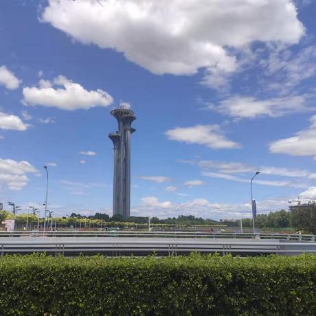 zhulf0804
 wuxiaolang
 luigifreda